How to use MISSION ONE’S GPS
※ Due to compact design and water resistant requirement, the GPS antenna is built inside the body, which limits the signal receiving.
※ Mission One may not be able to acquire a GPS signal due to environmental interference or obstruction.
※ GPS are for surface use only. Can’t function underwater.
How to acquire GPS signal effectively:
1. Using the “sync GPS” function in ATOMS App to sync the satellite ephemeris data into MISSION ONE, which shortens the time needed to acquire the GPS signal.
2. Locate at an open area with unobstructed view of the sky. Make sure the watch face is pointed to the sky. (may take 5-8 minutes)
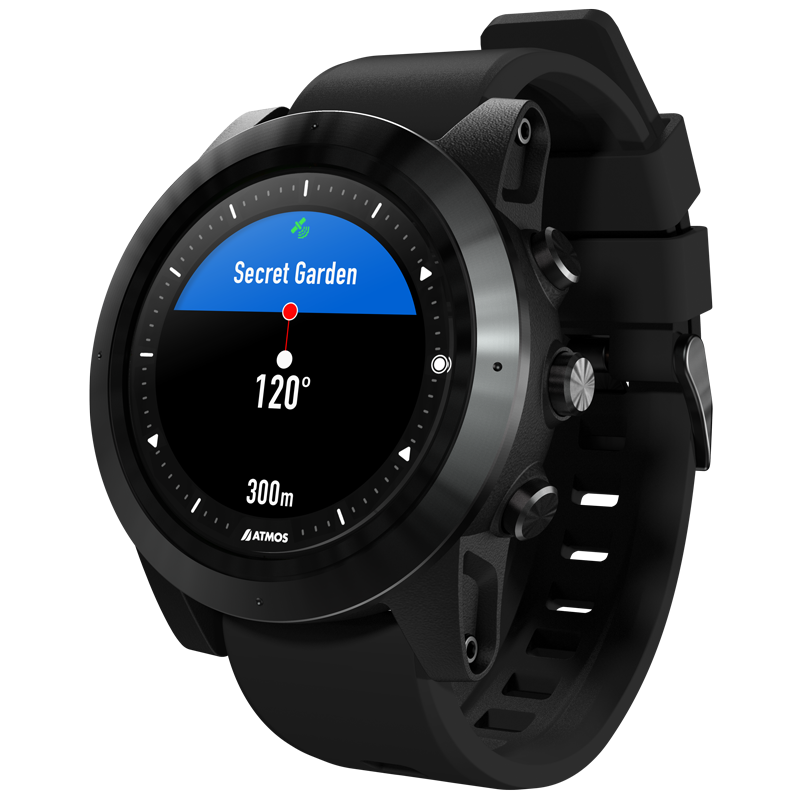
3. Switch to any dive mode > press right mid key to go to DIVESITE > NEARBY SITES , wait for acquiring GPS.
4. The satellite will stop blinking and the MISSION ONE will vibrate when GPS is acquired.
When GPS is acquired (At surface)
Entry point
* Descend while GPS is acquired can mark the entry point, which will show on the map in the dive log in ATMOS App.
Exit point
* Ascend to surface and acquire the GPS before divemode end can mark the exit point, which will show on the map in the dive log in ATMOS App, too.
Nearby site/ Add site/ My list
* You can also add a new dive site or use the Nearby site feature when GPS is acquired
Contact us for more help: (Fb message) https://www.facebook.com/atmosocean